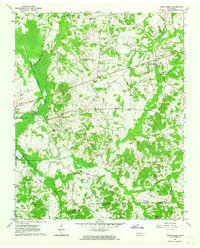
1961 Map of Jacks Creek
USGS Topo · Published 1964About this map
The South Fork Forked Deer River dominates the western lowlands of this West Tennessee landscape, where the Mobile and Ohio RR cuts a straight path through the bottomlands. To the east, the terrain transitions into the namesake uplands of Jacks Creek, a settlement defined by local institutions like Beech Spring Ch and the Jacks Creek Sch. The map reveals a deeply established rural community network, specifically noted by the Gibson Rosenwald Sch, a significant indicator of the era's educational infrastructure. Local heritage is further mapped through numerous family and community landmarks such as Oak Grove Ch, the Robinson Cem, and the colorfully named settlement of Sweet Lips near the confluence of Sweet Lips Creek and its Right Fork.
Find a feature on this map
42 named features on this map. Tap any name to fly to it.
Don’t see what you’re looking for? This feature index may not catch every label — zoom into the map to look around manually.
Map Details
Editions of this 1961 Jacks Creek Map
2 editions found
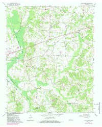
Other maps of this area

1936 · Leapwood
USGS Topo · 1:24,000

1936 · Enville
USGS Topo · 1:24,000

1936 · Life
USGS Topo · 1:24,000

1936 · Mt. Peter
USGS Topo · 1:24,000

1949 · Leapwood
USGS Topo · 1:24,000

1949 · Mt. Peter
USGS Topo · 1:24,000

1950 · Life
USGS Topo · 1:24,000

1950 · Enville
USGS Topo · 1:24,000

1953 · Beech Bluff
USGS Topo · 1:24,000

1955 · Luray
USGS Topo · 1:24,000