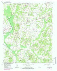
1961 Map of Jacks Creek
USGS Topo · Published 1984About this map
The South Fork Forked Deer River defines the western landscape of this Chester County region, where the Illinois Central railroad corridor cuts a path through the bottomlands. This 1961 survey, updated in the early 1980s, reveals a rural network of small communities and crossroads such as Sweet Lips, Plainview, and Glendale. The presence of the Gibson Rosenwald Sch provides a significant genealogical touchpoint for local history, standing alongside numerous community landmarks like Trice Chapel and the Holly Springs Ch.
Find a feature on this map
46 named features on this map. Tap any name to fly to it.
Don’t see what you’re looking for? This feature index may not catch every label — zoom into the map to look around manually.
Map Details
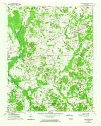
Editions of this 1961 Jacks Creek Map
2 editions found
Other maps of this area

1936 · Leapwood
USGS Topo · 1:24,000

1936 · Enville
USGS Topo · 1:24,000

1936 · Life
USGS Topo · 1:24,000

1936 · Mt. Peter
USGS Topo · 1:24,000

1949 · Leapwood
USGS Topo · 1:24,000

1949 · Mt. Peter
USGS Topo · 1:24,000

1950 · Life
USGS Topo · 1:24,000

1950 · Enville
USGS Topo · 1:24,000

1953 · Beech Bluff
USGS Topo · 1:24,000

1955 · Luray
USGS Topo · 1:24,000