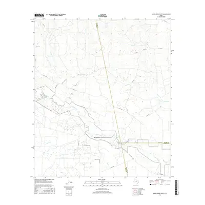
2016 Map of Jacks Creek South
USGS Topo · Published 2016About this map
Big Thicket National Preserve occupies a central role in this landscape at the intersection of Polk, Tyler, and Hardin counties. The terrain is defined by a dense network of waterways, including Big Sandy Cr, Kimball Cr, and Cypress Cr, which carve through the East Texas timberlands. Human infrastructure is primarily oriented around the timber and petroleum industries, as evidenced by Prime Oilfield Loop and several rural connectors like Camp Seale Rd. Local history researchers can identify family-named thoroughfares such as Simmons Cemetery Rd, Tom Marsh Rd, and Buddy Brown Rd. This survey reflects a modern era of conservation and resource extraction, where protected federal lands exist alongside active oilfield roads and residential pockets like LaSalle and Bellaire.
Find a feature on this map
34 named features on this map. Tap any name to fly to it.
Don’t see what you’re looking for? This feature index may not catch every label — zoom into the map to look around manually.
Map Details
Editions of this 2016 Jacks Creek South Map
This is the sole edition of this map. No revisions or reprints were ever made.
Other maps of this area

1943 · Liberty
USGS Topo · 1:125,000

1954 · Beaumont
USGS Topo · 1:250,000

1955 · Saratoga
USGS Topo · 1:62,500

1955 · Kountze
USGS Topo · 1:62,500

1957 · Beaumont
USGS Topo · 1:250,000

1958 · Segno
USGS Topo · 1:62,500

1958 · Warren
USGS Topo · 1:62,500

1984 · Segno
USGS Topo · 1:24,000

1984 · Beaumont
USGS Topo · 1:250,000

1984 · Jacks Creek South
USGS Topo · 1:24,000