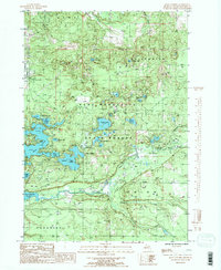
1985 Map of Jacks Landing
USGS Topo · Published 1986About this map
Jacks Landing sits as a central point of reference in this landscape dominated by the glacial hydrology of Grand Traverse. The terrain is defined by a dense network of kettle lakes and wetlands within the Pere Marquette State Forest, where water bodies like Spider Lake, Rennie Lake, and the Muncie Lakes cluster together. The Boardman River carves a path through the southern half of the map, fed by tributaries such as Carpenter Creek and Twenty-two Creek. This mid-1980s snapshot illustrates a region heavily shaped by its natural resources and recreational geography, featuring established sites like the Campground near the riverbanks. To the west, the expansion of the river into Brown Bridge Pond shows the impact of local water management on the environment. The map also delineates the civil boundaries of Whitewater, Acme, Union, and Paradise townships.
Find a feature on this map
28 named features on this map. Tap any name to fly to it.
Don’t see what you’re looking for? This feature index may not catch every label — zoom into the map to look around manually.
Map Details
Editions of this 1985 Jacks Landing Map
2 editions found
Other maps of this area

1954 · Traverse City
USGS Topo · 1:250,000

1956 · Fife Lake
USGS Topo · 1:62,500

1956 · Kingsley
USGS Topo · 1:62,500

1957 · Traverse City
USGS Topo · 1:62,500

1957 · Elk Rapids
USGS Topo · 1:62,500

1958 · Traverse City
USGS Topo · 1:250,000

1983 · Traverse City SE
USGS Topo · 1:25,000

1983 · Traverse City
USGS Topo · 1:100,000
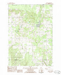
1983 · Kingsley
USGS Topo · 1:25,000
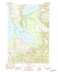
1983 · Torch River
USGS Topo · 1:24,000
Featured Places
- East Bay Township, MI
- Paradise Township, MI
- Acme Township, MI
- Whitewater Township, MI
- Union Township, MI