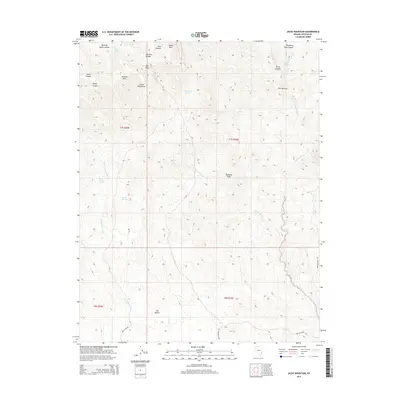
2014 Map of Jacks Mountain
USGS Topo · Published 2014About this map
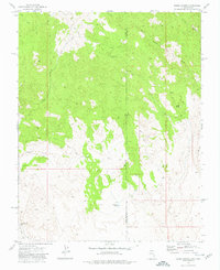
Clover Mountains dominate this high-desert terrain, where several named peaks and canyons reveal a landscape defined by seasonal water flow and historic passage. Significant elevations including Jacks Mtn, Sawmill Mtn, and Diamond Peak watch over a network of washes and canyons, such as Quaking Aspen Canyon and Purgatory Hole Canyon. The presence of several vital water sources, including Shoemake Spring, Topah Spring, and Kate Spring, indicates the traditional importance of these spots for travelers and livestock in an otherwise arid environment.
Find a feature on this map
68 named features on this map. Tap any name to fly to it.
Don’t see what you’re looking for? This feature index may not catch every label — zoom into the map to look around manually.
Map Details
Editions of this 2014 Jacks Mountain Map
This is the sole edition of this map. No revisions or reprints were ever made.
Other maps of this area

1885 · Pioche
USGS Topo · 1:250,000

1886 · Pioche
USGS Topo · 1:250,000

1954 · Caliente
USGS Topo · 1:250,000

1958 · Docs Pass
USGS Topo · 1:24,000

1959 · Caliente
USGS Topo · 1:250,000
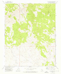
1973 · Jacks Mountain
USGS Topo · 1:24,000
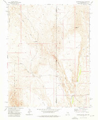
1973 · Scarecrow Peak
USGS Topo · 1:24,000
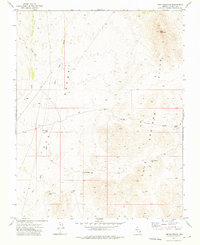
1973 · Lime Mountain
USGS Topo · 1:24,000
1973 · Dodge Spring
USGS Topo · 1:24,000
1973 · Blue Nose Peak
USGS Topo · 1:24,000