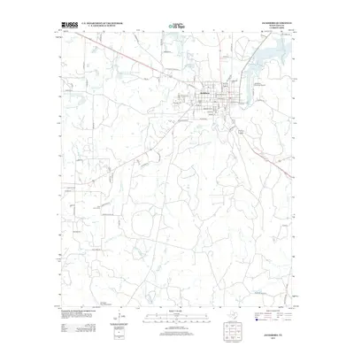
2012 Map of Jacksboro
USGS Topo · Published 2012About this map
Jacksboro serves as the focal point of this North Texas survey, characterized by its traditional grid and proximity to significant local water resources. The landscape is defined by the drainage of Lost Cr and W Fork Keechi Cr, while the northeastern corner shows the importance of water management through the Lost Cr Reservoir and Lake Jacksboro.
Find a feature on this map
84 named features on this map. Tap any name to fly to it.
Don’t see what you’re looking for? This feature index may not catch every label — zoom into the map to look around manually.
Map Details
Editions of this 2012 Jacksboro Map
This is the sole edition of this map. No revisions or reprints were ever made.
Other maps of this area

1954 · Wichita Falls
USGS Topo · 1:250,000

1958 · Wichita Falls
USGS Topo · 1:250,000

1960 · Jacksboro
USGS Topo · 1:24,000
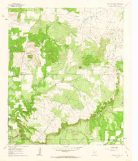
1961 · Bartons Chapel
USGS Topo · 1:24,000
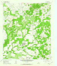
1961 · Perrin
USGS Topo · 1:24,000

1961 · Jacksboro NE
USGS Topo · 1:24,000

1964 · Senate
USGS Topo · 1:24,000

1964 · Cundiff
USGS Topo · 1:24,000

1964 · Johnson Lake
USGS Topo · 1:24,000

1964 · Lynn Creek
USGS Topo · 1:24,000