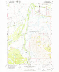
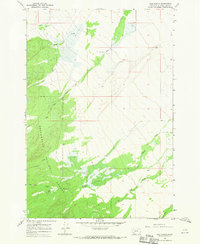
1978 Map of Jackson
USGS Topo · Published 1979About this map
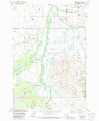
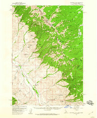
Jackson sits at the northern edge of this high mountain valley, serving as a hub for the ranching and timber interests of southwestern Montana. The Big Hole River winds through the center of the sheet, flanked by a network of drainage ditches and creeks including Governor Creek and Hamby Creek. This mid-century landscape is defined by its geothermal and recreational features, from the Jardine Hot Spring and Patterson Springs near the townsite to the Ski Hill and Landing Strip that reflect the area's development for tourism and access. The western and southern reaches are dominated by the Beaverhead National Forest, where the terrain rises toward the Pioneer Mountains. Family-named landmarks such as Davis Bench and the settlement at Englejard suggest the history of early land claims, while the Popularis Cemetery provides a vital point of reference for genealogists researching the residents of this high-altitude basin.
Find a feature on this map
26 named features on this map. Tap any name to fly to it.
Don’t see what you’re looking for? This feature index may not catch every label — zoom into the map to look around manually.
Map Details
Editions of this 1978 Jackson Map
2 editions found
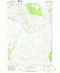
Other maps of this area

1955 · Dillon
USGS Topo · 1:250,000
1956 · Goldstone Mtn
USGS Topo · 1:62,500

1957 · Dillon
USGS Topo · 1:250,000

1958 · Dillon
USGS Topo · 1:250,000

1962 · Dillon
USGS Topo · 1:250,000

1965 · Dillon
USGS Topo · 1:250,000
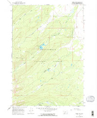
1966 · Miner Lake
USGS Topo · 1:24,000
1966 · Ajax Ranch
USGS Topo · 1:24,000
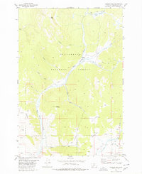
1978 · Butch Hill
USGS Topo · 1:24,000
1978 · Jackson Hill
USGS Topo · 1:24,000