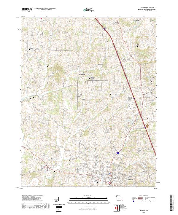
2021 Map of Jackson
USGS Topo · Published 2021About this map
Jackson and its northern surrounding townships are detailed in this contemporary study of Cape Girardeau County. The landscape is defined by the headwaters of numerous waterways, including Blue Shawnee Cr and Hubble Cr, which carve through the Byrd Hills and along Bavarian Ridge. The map highlights a high density of small family and community burial grounds, such as the Byrd - Delph - Roberts Cem, Old Shiloh Cem, and Ramsey Cem, providing significant value for genealogists tracing local lineage.
Find a feature on this map
156 named features on this map. Tap any name to fly to it.
Don’t see what you’re looking for? This feature index may not catch every label — zoom into the map to look around manually.
Map Details
Editions of this 2021 Jackson Map
This is the sole edition of this map. No revisions or reprints were ever made.
Other maps of this area

1918 · Altenburg
USGS Topo · 1:62,500

1922 · Cape Girardeau
USGS Topo · 1:62,500

1923 · Perryville
USGS Topo · 1:62,500

1924 · Cape Girardeau
USGS Topo · 1:62,500

1924 · Perryville
USGS Topo · 1:62,500

1925 · Altenburg
USGS Topo · 1:62,500

1933 · Marble Hill
USGS Topo · 1:62,500

1937 · Marble Hill
USGS Topo · 1:62,500

1947 · Oak Ridge
USGS Topo · 1:24,000

1947 · Altenburg
USGS Topo · 1:62,500