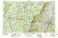
1955 Map of Jackson
USGS Topo · Published 1975About this map
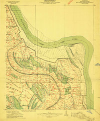
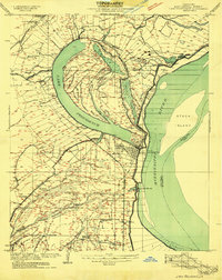
The Mississippi River serves as the grand central artery of this 1955 survey, carving a massive, sinuous boundary between the alluvial plains of Louisiana and the rising bluffs of Mississippi. This mid-century landscape is defined by the intricate hydrology of the Delta, where the Big Sunflower River and Steele Bayou snake through the deep bottomlands of the Delta National Forest. The map documents a period of significant infrastructure development, most notably the presence of the Ross Barnett Reservoir northeast of the capital, reflecting the era's focus on water management and recreation.
Find a feature on this map
189 named features on this map. Tap any name to fly to it.
Don’t see what you’re looking for? This feature index may not catch every label — zoom into the map to look around manually.
Map Details
Editions of this 1955 Jackson Map
3 editions found


Other maps of this area

1903 · Jackson
USGS Topo · 1:125,000

1905 · Jackson
USGS Topo · 1:48,000

1906 · Florence
USGS Topo · 1:62,500

1908 · Jackson
USGS Topo · 1:62,500

1908 · Florence
USGS Topo · 1:62,500

1909 · Delta Bridge
USGS Topo · 1:24,000

1909 · Lake Bruen
USGS Topo · 1:24,000

1909 · Baxter Bayou
USGS Topo · 1:24,000
1909 · Millikens Bend
USGS Topo · 1:24,000
1909 · Lake Providence
USGS Topo · 1:24,000