1981 Map of Jackson
USGS Topo · Published 1981About this map
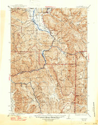
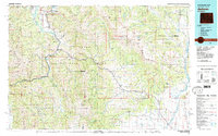
The National Elk Refuge and the town of Jackson anchor the northern reaches of this 1981 landscape, where the confluence of the Snake River and Hoback River defines the local geography. This survey documents the intersection of several major mountain chains, including the Teton Range, Gros Ventre Range, and the northern extent of the Wyoming Range. The placement of Hoback Junction and Astoria Mineral Hot Springs along the river corridors illustrates how mid-century transportation routes followed the natural breaks in the high-altitude terrain.
Find a feature on this map
74 named features on this map. Tap any name to fly to it.
Don’t see what you’re looking for? This feature index may not catch every label — zoom into the map to look around manually.
Map Details
Editions of this 1981 Jackson Map
This is the sole edition of this map. No revisions or reprints were ever made.
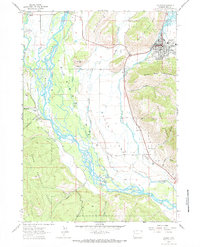
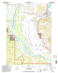
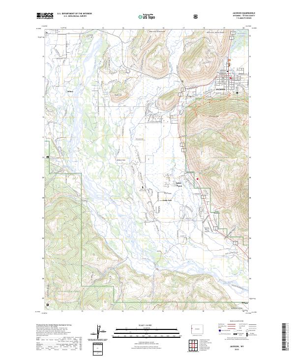
Historical Maps of Jackson Through Time
6 maps found