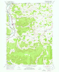
1954 Map of Jackson Summit
USGS Topo · Published 1977About this map
Lawrenceville sits at the northern edge of this survey where the Tioga river valley meets the New York state line. The landscape is defined by the intersection of rail and river, with the Penn Central and Erie-Lackawanna lines navigating the narrow corridors between steep elevations like Buck Hill and Rowe Hill. This 1950s record shows the rural character of the region before significant modernization, documented by a network of family-named landmarks and upland cemeteries such as Middaugh Cem and Morrell Cem.
Find a feature on this map
54 named features on this map. Tap any name to fly to it.
Don’t see what you’re looking for? This feature index may not catch every label — zoom into the map to look around manually.
Map Details
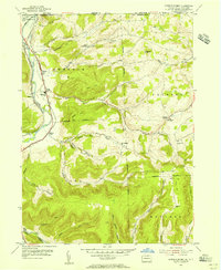
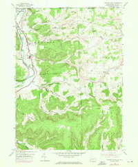
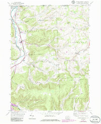
Editions of this 1954 Jackson Summit Map
4 editions found
Other maps of this area

1895 · Elmira
USGS Topo · 1:62,500

1900 · Tioga
USGS Topo · 1:62,500

1902 · Tioga
USGS Topo · 1:62,500

1905 · Watkins Glen
USGS Topo · 1:125,000

1914 · Corning
USGS Topo · 1:62,500

1931 · Troy
USGS Topo · 1:48,000

1938 · Troy
USGS Topo · 1:62,500

1944 · Corning
USGS Topo · 1:62,500

1950 · Elmira
USGS Topo · 1:250,000

1953 · Roseville
USGS Topo · 1:24,000
Featured Places
- Lindley, NY
- Tioga Township, PA
- Tioga Junction, Lawrence Township
- Jackson Township, PA
- Somers Lane, Lawrence Township