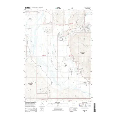
2015 Map of Jackson
USGS Topo · Published 2015About this map
Jackson and the surrounding valley floor are defined by the braided channels of the Snake River as it flows south between the high peaks of the Teton National Forest. This 2015 survey details the modern layout of the town, from the commercial core near Cache Creek to the residential growth south toward South Park and Rafter J Ranch. The topography is dominated by the massive formations of West Gros Ventre Butte and East Gros Ventre Butte, which rise abruptly from the valley floor. To the east, the steep slopes of Josies Ridge and Snow King Mountain hem in the town, while the expansive Snake River floodplain to the west is crisscrossed by smaller tributaries like Fish Creek and Spring Creek. Local landmarks such as the Melody Ranch Airport and the town Cemetery on Aspen Hill provide specific points of reference for those studying the contemporary landscape of this mountain community.
Find a feature on this map
112 named features on this map. Tap any name to fly to it.
Don’t see what you’re looking for? This feature index may not catch every label — zoom into the map to look around manually.
Map Details
Editions of this 2015 Jackson Map
This is the sole edition of this map. No revisions or reprints were ever made.
Other maps of this area

1899 · Grand Teton
USGS Topo · 1:125,000

1901 · Grand Teton
USGS Topo · 1:125,000

1931 · Jackson
USGS Topo · 1:125,000

1935 · Jackson
USGS Topo · 1:125,000

1955 · Driggs
USGS Topo · 1:250,000

1958 · Driggs
USGS Topo · 1:250,000

1962 · Driggs
USGS Topo · 1:250,000

1963 · Munger Mountain
USGS Topo · 1:24,000

1963 · Jackson
USGS Topo · 1:24,000

1963 · Teton Pass
USGS Topo · 1:24,000