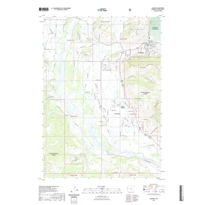
2021 Map of Jackson
USGS Topo · Published 2021About this map
The Snake River valley dominates this landscape, where the town of Jackson serves as a gateway to the high country of the Teton National Forest. The map documents a community deeply integrated with its physical geography, from the slopes of Snow King Mtn and East Gros Ventre Butte to the wetlands of the National Elk Refuge. Local civic and spiritual life is anchored by the Teton County Courthouse and the Episcopal Church Columbarium, while the presence of the Central Wyoming College reflects the area's modern growth. Further south, the valley widens into South Park, a region defined by agricultural legacies like the Rafter J Ranch and the quiet grounds of the South Park Cem. The mapping shows the intricate network of water including Flat Creek and Spring Creek that nourish the valley floor before joining the Snake River as it winds toward the Snake River Range.
Find a feature on this map
133 named features on this map. Tap any name to fly to it.
Don’t see what you’re looking for? This feature index may not catch every label — zoom into the map to look around manually.
Map Details
Editions of this 2021 Jackson Map
This is the sole edition of this map. No revisions or reprints were ever made.
Other maps of this area

1899 · Grand Teton
USGS Topo · 1:125,000

1901 · Grand Teton
USGS Topo · 1:125,000

1931 · Jackson
USGS Topo · 1:125,000

1935 · Jackson
USGS Topo · 1:125,000

1955 · Driggs
USGS Topo · 1:250,000

1958 · Driggs
USGS Topo · 1:250,000

1962 · Driggs
USGS Topo · 1:250,000

1963 · Munger Mountain
USGS Topo · 1:24,000

1963 · Jackson
USGS Topo · 1:24,000

1963 · Teton Pass
USGS Topo · 1:24,000