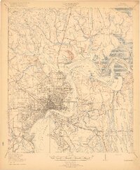
1918 Map of Jacksonville
USGS Topo · Published 1918About this map
The St Johns River anchors this 1918 perspective of the region, where the city of Jacksonville expanded outward via the Seaboard Air Line and the Atlantic Coast Line. The map reveals the intricate riverine geography of the era, from the wide expanse of Mill Cove to the winding course of Mc Girts Creek. Suburban growth is evident in the street grids of Brooklyn, Murray Hill, and Ortega, while the outlying areas remain dominated by institutional and agricultural land use.
Find a feature on this map
104 named features on this map. Tap any name to fly to it.
Don’t see what you’re looking for? This feature index may not catch every label — zoom into the map to look around manually.
Map Details
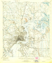
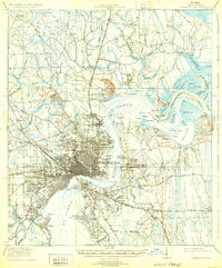
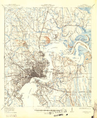
Editions of this 1918 Jacksonville Map
5 editions found
Other maps of this area

1917 · Orange Park
USGS Topo · 1:62,500

1917 · Cambon
USGS Topo · 1:62,500

1917 · Hilliard
USGS Topo · 1:62,500

1918 · St Marys
USGS Topo · 1:62,500

1918 · Middleburg
USGS Topo · 1:62,500

1918 · Cambon
USGS Topo · 1:62,500

1918 · Jacksonville
USGS Topo · 1:62,500

1918 · Orange Park
USGS Topo · 1:62,500

1918 · Palm Valley
USGS Topo · 1:62,500

1918 · Mayport
USGS Topo · 1:62,500
Featured Places
- Jacksonville, FL
- Holiday Hill, Jacksonville
- Lake Park Estates, Jacksonville
- Lake Shore, Jacksonville
- Pearl Court, Jacksonville