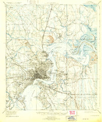
1918 Map of Jacksonville
USGS Topo · Published 1931About this map
The St Johns River anchors this 1917 survey of Northeast Florida, revealing Jacksonville as a burgeoning rail and maritime hub. The city’s core is dense with street grids, extending across the water to South Jacksonville and St Nicholas, while the surrounding landscape is marked by correctional and educational institutions like the City Prison Farm, County Prison Farm, and the Florida Military Academy.
Find a feature on this map
107 named features on this map. Tap any name to fly to it.
Don’t see what you’re looking for? This feature index may not catch every label — zoom into the map to look around manually.
Map Details
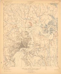
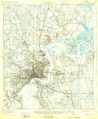
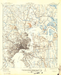
Editions of this 1918 Jacksonville Map
5 editions found
Other maps of this area

1917 · Orange Park
USGS Topo · 1:62,500

1917 · Cambon
USGS Topo · 1:62,500

1917 · Hilliard
USGS Topo · 1:62,500

1918 · St Marys
USGS Topo · 1:62,500

1918 · Middleburg
USGS Topo · 1:62,500

1918 · Cambon
USGS Topo · 1:62,500

1918 · Jacksonville
USGS Topo · 1:62,500

1918 · Orange Park
USGS Topo · 1:62,500

1918 · Palm Valley
USGS Topo · 1:62,500

1918 · Mayport
USGS Topo · 1:62,500
Featured Places
- Jacksonville, FL
- Holiday Hill, Jacksonville
- Lake Park Estates, Jacksonville
- Lake Shore, Jacksonville
- Pearl Court, Jacksonville