
1918 Map of Jacksonville
USGS Topo · Published 1918About this map
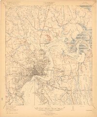
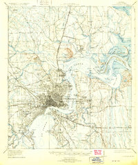
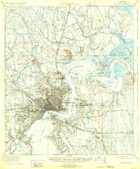
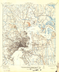
Jacksonville serves as the industrial and transit hub of this 1917 survey, showing the city just before the major expansions of the mid-20th century. The dense street grid of the city center is flanked by a complex network of railroads, including the Seaboard Air Line and the Florida East Coast, which converged here to facilitate trade along the St Johns River. Beyond the urban core, the landscape is defined by the winding reaches of Trout Creek and Mc Girts Creek, with smaller communities like Murray Hill and South Jacksonville beginning to take shape. This period is marked by the presence of institutional landmarks such as the City Prison Farm and educational sites like the Flagler Preparatory School and Otto Chapel School. The map reveals a river-dependent economy, where points like Dames Point and Drummond Pt dictated the flow of maritime traffic through the deep waters of Mill Cove.
Find a feature on this map
98 named features on this map. Tap any name to fly to it.
Don’t see what you’re looking for? This feature index may not catch every label — zoom into the map to look around manually.
Map Details
Editions of this 1918 Jacksonville Map
5 editions found
Other maps of this area

1917 · Orange Park
USGS Topo · 1:62,500

1917 · Cambon
USGS Topo · 1:62,500

1917 · Hilliard
USGS Topo · 1:62,500

1918 · St Marys
USGS Topo · 1:62,500

1918 · Middleburg
USGS Topo · 1:62,500

1918 · Cambon
USGS Topo · 1:62,500

1918 · Orange Park
USGS Topo · 1:62,500

1918 · Palm Valley
USGS Topo · 1:62,500

1918 · Mayport
USGS Topo · 1:62,500

1919 · Fernandina
USGS Topo · 1:62,500
Featured Places
- Jacksonville, FL
- Holiday Hill, Jacksonville
- Lake Park Estates, Jacksonville
- Lake Shore, Jacksonville
- Pearl Court, Jacksonville