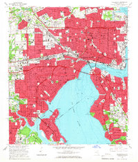
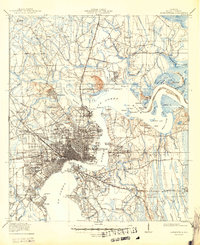
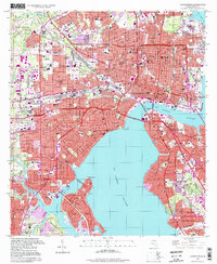
1964 Map of Jacksonville
USGS Topo · Published 1966This historical map portrays the area of Jacksonville in 1964, primarily covering Duval County. Featuring a scale of 1:24000, this map provides a highly detailed snapshot of the terrain, roads, buildings, counties, and historical landmarks in the Jacksonville region at the time. Published in 1966, it is one of 5 known editions of this map due to revisions or reprints.
Find a feature on this map
141 named features on this map. Tap any name to fly to it.
Don’t see what you’re looking for? This feature index may not catch every label — zoom into the map to look around manually.
Map Details
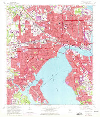
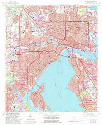
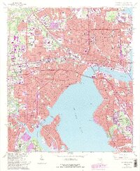
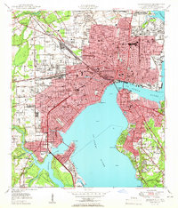
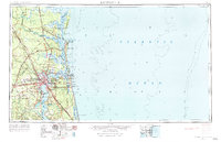
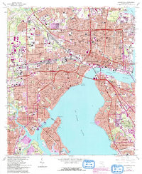
Editions of this 1964 Jacksonville Map
5 editions found
Historical Maps of Murray Hill Through Time
11 maps found
1918 Jacksonville
Duval County, FL

1948 Jacksonville
Duval County, FL
1950 Jacksonville
Duval County, FL
1957 Jacksonville
Duval County, FL

1959 Jacksonville
Duval County, FL

1960 Jacksonville
Duval County, FL
1964 Jacksonville
Duval County, FL

1977 Jacksonville
Duval County, FL

1980 Jacksonville
Duval County, FL

1988 Jacksonville
Duval County, FL
1994 Jacksonville
Duval County, FL
Featured Locations
- Jacksonville, FL
- Lake Shore, Jacksonville
- Pearl Court, Jacksonville
- Saint Nicholas, Jacksonville
- Larsen, Jacksonville