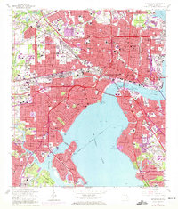
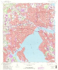
1964 Map of Jacksonville
USGS Topo · Published 1972About this map
Jacksonville in the mid-1960s is a sprawling riverfront hub defined by its relationship with the St Johns River. This survey documents a critical phase of urban expansion and civil engineering, centered on the newly constructed Fuller Warren Bridge and Mathews Bridge which bridged the gaps between established neighborhoods like Riverside and South Jacksonville. The river itself is active with maritime infrastructure, from the Commodore Point shipyards to the drydocks near Talleyrand.
Find a feature on this map
135 named features on this map. Tap any name to fly to it.
Don’t see what you’re looking for? This feature index may not catch every label — zoom into the map to look around manually.
Map Details
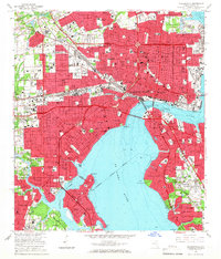
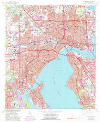
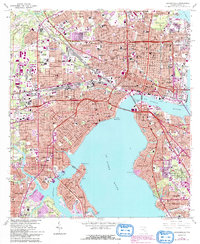
Editions of this 1964 Jacksonville Map
5 editions found
Other maps of this area

1917 · Orange Park
USGS Topo · 1:62,500

1917 · Cambon
USGS Topo · 1:62,500

1918 · Middleburg
USGS Topo · 1:62,500

1918 · Cambon
USGS Topo · 1:62,500

1918 · Jacksonville
USGS Topo · 1:62,500

1918 · Orange Park
USGS Topo · 1:62,500

1941 · Middleburg
USGS Topo · 1:62,500

1948 · Jacksonville
USGS Topo · 1:250,000

1948 · Eastport
USGS Topo · 1:24,000

1949 · Jacksonville Heights
USGS Topo · 1:24,000
Featured Places
- Jacksonville, FL
- Lake Shore, Jacksonville
- Pearl Court, Jacksonville
- Saint Nicholas, Jacksonville
- Larsen, Jacksonville