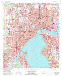
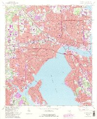
1964 Map of Jacksonville
USGS Topo · Published 1990About this map
Jacksonville stands as a bustling logistics and maritime hub along the St Johns River, captured here during a period of significant urban expansion and bridge construction. The waterfront is defined by a heavy industrial and transportation network, from the Municipal Terminal at Talleyrand to the rail yards of the Seaboard Coast Line and the F E C RR. Downtown, civic life centers around the Courthouse, City Hall, and the Gator Bowl, while transportation is anchored by Union Station.
Find a feature on this map
165 named features on this map. Tap any name to fly to it.
Don’t see what you’re looking for? This feature index may not catch every label — zoom into the map to look around manually.
Map Details
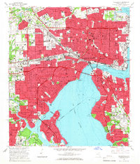
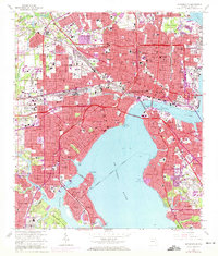
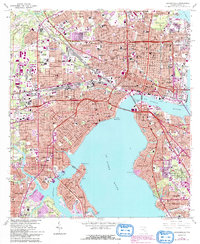
Editions of this 1964 Jacksonville Map
5 editions found
Other maps of this area

1917 · Orange Park
USGS Topo · 1:62,500

1917 · Cambon
USGS Topo · 1:62,500

1918 · Middleburg
USGS Topo · 1:62,500

1918 · Cambon
USGS Topo · 1:62,500

1918 · Jacksonville
USGS Topo · 1:62,500

1918 · Orange Park
USGS Topo · 1:62,500

1941 · Middleburg
USGS Topo · 1:62,500

1948 · Jacksonville
USGS Topo · 1:250,000

1948 · Eastport
USGS Topo · 1:24,000

1949 · Jacksonville Heights
USGS Topo · 1:24,000
Featured Places
- Jacksonville, FL
- Lake Shore, Jacksonville
- Pearl Court, Jacksonville
- Saint Nicholas, Jacksonville
- Larsen, Jacksonville