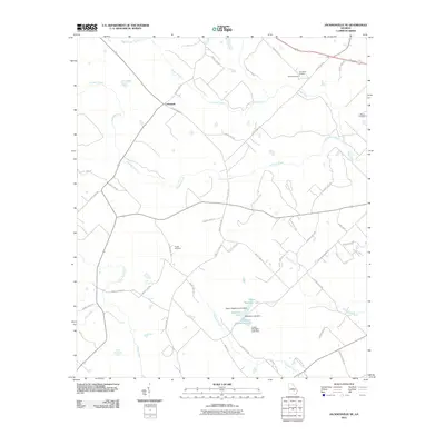
2011 Map of Jacksonville NE
USGS Topo · Published 2011About this map
The settlement of Cedarpark sits at a focal point of rural Telfair County, where a network of county highways and roads connects the agricultural interior of South Georgia. The landscape is defined by the winding paths of Turnpike Creek and Sugar Creek, which drain toward a central chain of man-made water bodies including Upper Stapleton Lake, Stapleton Lake, and Lower Stapleton Lake. These reservoirs are managed by several structural landmarks such as the Stapleton Lake Dam. For those researching family history in the area, the map documents several burial sites established near these drainages, including the Livingston Cemetery, Silver Cemetery, Wooten Cemetery, and Powell Cemetery. The road network, featuring names like Powell School Rd and Bo Ray Rd, reflects the long-standing rural community structure and land use patterns that persisted into the early 21st century.
Find a feature on this map
52 named features on this map. Tap any name to fly to it.
Don’t see what you’re looking for? This feature index may not catch every label — zoom into the map to look around manually.
Map Details
Editions of this 2011 Jacksonville NE Map
This is the sole edition of this map. No revisions or reprints were ever made.
Other maps of this area

1953 · Waycross
USGS Topo · 1:250,000

1957 · Macon
USGS Topo · 1:250,000

1958 · Macon
USGS Topo · 1:250,000

1958 · Waycross
USGS Topo · 1:250,000

1964 · Macon
USGS Topo · 1:250,000

1970 · Scotland
USGS Topo · 1:24,000

1970 · Jordan
USGS Topo · 1:24,000

1971 · Roper
USGS Topo · 1:24,000

1971 · Jacksonville NE
USGS Topo · 1:24,000

1971 · Snipesville
USGS Topo · 1:24,000