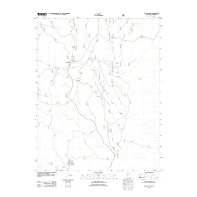
2012 Map of Jacob Lake
USGS Topo · Published 2012About this map
The settlement of Jacob Lake serves as the focal point for this 2012 survey, situated at the junction of Alt 89 and State Route 67 in Coconino County. The area is characterized by its high-altitude karst topography and forest resources, evidenced by the presence of significant depressions like Billy Sink and Jolly Sink along with the Jacob Lake Lookout Tower. The landscape features a complex network of forest service roads that provide access to livestock and wildlife watering points such as Buffalo Hill Tank, Jack Tank, and Jackson Tank. Drainage patterns are defined by the West Fork and East Fork Warm Springs Canyon in the southern portion of the quadrangle. As a hub for regional travel, the map highlights the proximity of the Jacob Lake Campground to the small seasonal settlement, illustrating the intersection of historic transit routes and modern forest management.
Find a feature on this map
18 named features on this map. Tap any name to fly to it.
Don’t see what you’re looking for? This feature index may not catch every label — zoom into the map to look around manually.
Map Details
Editions of this 2012 Jacob Lake Map
This is the sole edition of this map. No revisions or reprints were ever made.
Other maps of this area

1886 · Kaibab
USGS Topo · 1:250,000

1936 · Jacobs Lake
USGS Topo · 1:48,000

1940 · Jacob Lake
USGS Topo · 1:62,500

1953 · Jacobs Lake
USGS Topo · 1:62,500

1953 · Grand Canyon
USGS Topo · 1:250,000
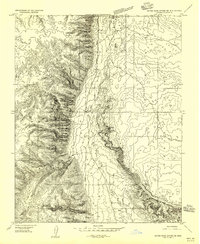
1954 · House Rock Spring SE
USGS Topo · 1:24,000

1957 · Grand Canyon
USGS Topo · 1:250,000

1957 · Shinarump SE
USGS Topo · 1:24,000
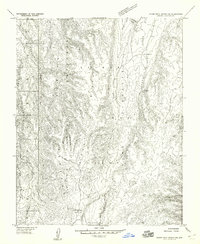
1957 · House Rock Spring SW
USGS Topo · 1:24,000
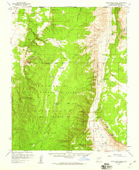
1957 · House Rock Spring
USGS Topo · 1:62,500