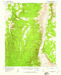
1957 Map of House Rock Spring
USGS Topo · Published 1959About this map
House Rock Valley serves as a critical corridor between the towering Vermilion Cliffs and the rising slopes of Buck Skin Mountain in this late 1950s survey. The landscape is defined by the search for water in an arid environment, evidenced by a network of isolated tanks and catchments such as Kitchens Tank, Joes Reservoir, and the Deer Water Catchment. These features, along with the eponymous House Rock Spring, provided essential resources for cattle ranching within the Kaibab National Forest.
Find a feature on this map
43 named features on this map. Tap any name to fly to it.
Don’t see what you’re looking for? This feature index may not catch every label — zoom into the map to look around manually.
Map Details
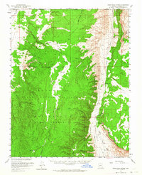
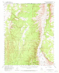
Editions of this 1957 House Rock Spring Map
3 editions found
Other maps of this area

1886 · Kanab
USGS Topo · 1:250,000

1886 · Escalante
USGS Topo · 1:250,000

1886 · Echo Cliffs
USGS Topo · 1:250,000

1886 · Kaibab
USGS Topo · 1:250,000

1891 · Echo Cliffs
USGS Topo · 1:250,000

1936 · Jacobs Lake
USGS Topo · 1:48,000

1940 · Jacob Lake
USGS Topo · 1:62,500

1953 · Jacobs Lake
USGS Topo · 1:62,500

1953 · Cedar City
USGS Topo · 1:250,000

1953 · Grand Canyon
USGS Topo · 1:250,000