
2021 Map of Jake Creek Mountain
USGS Topo · Published 2021About this map
Jake Creek Mtn and the eastern reaches of the Snowstorm Mountains define this high-elevation landscape in Elko County. The terrain is characterized by a network of intermittent drainages and critical water sources that have supported ranching and transit in this arid region for generations. Notable water features include Big Spring, Sawtooth Spring, and Meyers Spring, which dot the slopes below the Owyhee Bluffs. The northern portion of the map traces the upper reaches of the S Fork Little Humboldt River, while the southern flats are marked by Clover Cr and Evans Cr. This modern survey by the U.S. Geological Survey provides a precise look at the land's relief and the sparse network of local connectors and 4WD tracks that navigate the remote high desert between the basins and the peaks.
Find a feature on this map
17 named features on this map. Tap any name to fly to it.
Don’t see what you’re looking for? This feature index may not catch every label — zoom into the map to look around manually.
Map Details
Editions of this 2021 Jake Creek Mountain Map
This is the sole edition of this map. No revisions or reprints were ever made.
Other maps of this area

1882 · Paradise
USGS Topo · 1:250,000

1893 · Paradise
USGS Topo · 1:250,000

1955 · McDermitt
USGS Topo · 1:250,000

1959 · McDermitt
USGS Topo · 1:250,000

1965 · Sixmile Hill
USGS Topo · 1:24,000
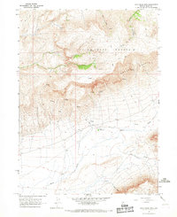
1965 · Jake Creek Mtn
USGS Topo · 1:24,000
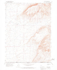
1965 · Midas SW
USGS Topo · 1:24,000
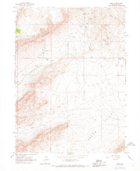
1965 · Midas
USGS Topo · 1:24,000

1973 · Snowstorm Mtn
USGS Topo · 1:24,000
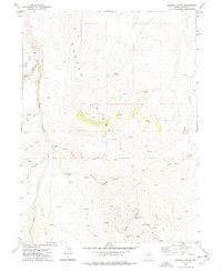
1977 · Oregon Canyon
USGS Topo · 1:24,000