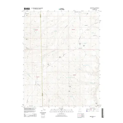
2014 Map of Jakes Knoll
USGS Topo · Published 2014About this map
Parker Mtn and the high elevations of the Awapa Plateau dominate this landscape along the border of Piute Co and Wayne Co. The terrain is defined by a sophisticated system of water management, evidenced by numerous high-altitude catchments like Parker Hollow Reservoir, Vance Reservoir, and Sage Reservoir. These features, along with the W Flat Top Reservoir Number 1, suggest a landscape utilized for livestock grazing or seasonal water storage in this arid part of Utah.
Find a feature on this map
38 named features on this map. Tap any name to fly to it.
Don’t see what you’re looking for? This feature index may not catch every label — zoom into the map to look around manually.
Map Details
Editions of this 2014 Jakes Knoll Map
This is the sole edition of this map. No revisions or reprints were ever made.
Other maps of this area

1885 · Fish Lake
USGS Topo · 1:250,000

1896 · Fish Lake
USGS Topo · 1:250,000

1956 · Salina
USGS Topo · 1:250,000

1960 · Salina
USGS Topo · 1:250,000

1962 · Salina
USGS Topo · 1:250,000
1969 · Parker Knoll
USGS Topo · 1:24,000
1969 · Smooth Knoll
USGS Topo · 1:24,000
1969 · Flossie Knoll
USGS Topo · 1:24,000
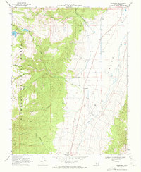
1969 · Greenwich
USGS Topo · 1:24,000
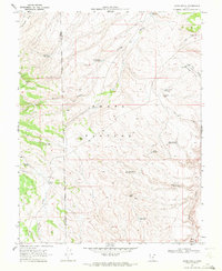
1969 · Jakes Knoll
USGS Topo · 1:24,000