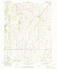
1969 Map of Flossie Knoll
USGS Topo · Published 1972About this map
A W A T C H P L A T E A U dominates this 1969 landscape where the high-altitude terrain of the Dixie National Forest is defined by a complex network of seasonal catchments and landmarks. The geography is punctuated by volcanic or erosional features like North Butte, Middle Butte, and South Butte, alongside named high points such as Flossie Knoll and Cedar Peak.
Find a feature on this map
37 named features on this map. Tap any name to fly to it.
Don’t see what you’re looking for? This feature index may not catch every label — zoom into the map to look around manually.
Map Details
Editions of this 1969 Flossie Knoll Map
2 editions found
Other maps of this area

1885 · Fish Lake
USGS Topo · 1:250,000

1896 · Fish Lake
USGS Topo · 1:250,000

1956 · Salina
USGS Topo · 1:250,000

1960 · Salina
USGS Topo · 1:250,000

1962 · Salina
USGS Topo · 1:250,000
1969 · Parker Knoll
USGS Topo · 1:24,000
1969 · Smooth Knoll
USGS Topo · 1:24,000
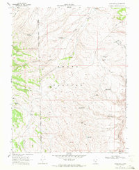
1969 · Jakes Knoll
USGS Topo · 1:24,000
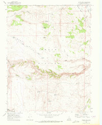
1969 · Moroni Peak
USGS Topo · 1:24,000
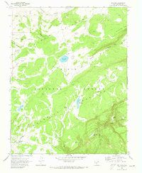
1969 · Big Lake
USGS Topo · 1:24,000