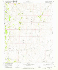
1969 Map of Flossie Knoll
USGS Topo · Published 1979About this map
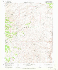
The Awapa Plateau dominates this high-altitude landscape where the borders of Piute, Wayne, and Garfield counties converge within the Dixie National Forest. This 1969 field-checked survey reveals a complex network of water management features essential to the region's high-desert geography. A series of catchments and reservoirs, including Gripe Reservoir, Butte Reservoir, and the tandem Death Hollow Reservoir No 1 and Death Hollow Reservoir No 2, are distributed across the terrain. These man-made features, alongside natural landmarks like Flossie Knoll and The Buttes, illustrate the historical importance of water storage for livestock and land management in Utah's interior. The terrain is marked by distinct geological formations such as North Butte, South Butte, and Big Point, providing clear points of reference for those studying the physical history of the Salt Lake Meridian corridor.
Find a feature on this map
35 named features on this map. Tap any name to fly to it.
Don’t see what you’re looking for? This feature index may not catch every label — zoom into the map to look around manually.
Map Details
Editions of this 1969 Flossie Knoll Map
2 editions found
Other maps of this area

1885 · Fish Lake
USGS Topo · 1:250,000

1896 · Fish Lake
USGS Topo · 1:250,000

1956 · Salina
USGS Topo · 1:250,000

1960 · Salina
USGS Topo · 1:250,000

1962 · Salina
USGS Topo · 1:250,000
1969 · Parker Knoll
USGS Topo · 1:24,000
1969 · Smooth Knoll
USGS Topo · 1:24,000
1969 · Flossie Knoll
USGS Topo · 1:24,000
1969 · Jakes Knoll
USGS Topo · 1:24,000
1969 · Moroni Peak
USGS Topo · 1:24,000