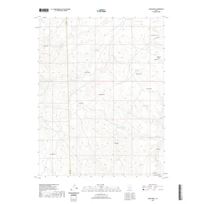
2020 Map of Jakes Knoll
USGS Topo · Published 2020About this map
Awapa Plateau dominates this high-altitude landscape, where the border between Piute Co and Wayne Co runs through a series of volcanic knolls and high-desert basins. This 2020 survey illustrates a complex network of water management features essential for high-country grazing, including the West Flat Top Reservoir Number 1, Vance Reservoir, and Jakes Knoll Reservoir. The terrain is defined by sharp elevation changes, from the heights of Parker Mtn and Jakes Knoll to the drainage systems of Okerlund Draw and Big Hollow. Natural water sources like Chicken Spring stand out as critical landmarks in an otherwise arid environment. The map provides a detailed view of the infrastructure supporting local land use, from the lone Long Hollow Rd to the scattered basins of Parker Hollow Reservoir and Cyclone Coop Reservoir.
Find a feature on this map
27 named features on this map. Tap any name to fly to it.
Don’t see what you’re looking for? This feature index may not catch every label — zoom into the map to look around manually.
Map Details
Editions of this 2020 Jakes Knoll Map
This is the sole edition of this map. No revisions or reprints were ever made.
Other maps of this area

1885 · Fish Lake
USGS Topo · 1:250,000

1896 · Fish Lake
USGS Topo · 1:250,000

1956 · Salina
USGS Topo · 1:250,000

1960 · Salina
USGS Topo · 1:250,000

1962 · Salina
USGS Topo · 1:250,000
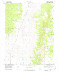
1969 · Parker Knoll
USGS Topo · 1:24,000
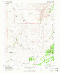
1969 · Smooth Knoll
USGS Topo · 1:24,000
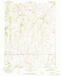
1969 · Flossie Knoll
USGS Topo · 1:24,000
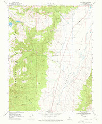
1969 · Greenwich
USGS Topo · 1:24,000
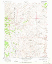
1969 · Jakes Knoll
USGS Topo · 1:24,000