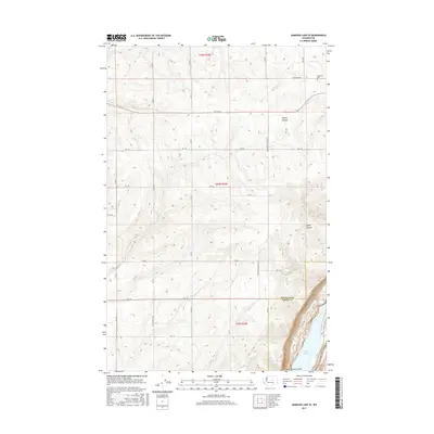
2017 Map of Jameson Lake SE
USGS Topo · Published 2017About this map
Lower Grand Coulee defines the southeastern corner of this map, where the dramatic elevation drop reveals the northern tip of Lenore Lake. The landscape is primarily a high, arid plateau marked by a rigid grid of agricultural access roads such as E Baseline Rd and Rd 6 SE, which segment the terrain into the township and range blocks of t24n r26e and t23n r26e.
Find a feature on this map
18 named features on this map. Tap any name to fly to it.
Don’t see what you’re looking for? This feature index may not catch every label — zoom into the map to look around manually.
Map Details
Editions of this 2017 Jameson Lake SE Map
This is the sole edition of this map. No revisions or reprints were ever made.
Other maps of this area

1953 · Ritzville
USGS Topo · 1:250,000

1956 · Ephrata
USGS Topo · 1:62,500

1956 · Soap Lake
USGS Topo · 1:24,000

1959 · Ritzville
USGS Topo · 1:250,000

1965 · Ritzville
USGS Topo · 1:250,000

1965 · Jameson Lake SW
USGS Topo · 1:24,000

1965 · Jameson Lake SE
USGS Topo · 1:24,000

1965 · St. Andrews
USGS Topo · 1:24,000

1965 · Jameson Lake West
USGS Topo · 1:24,000

1965 · Jameson Lake East
USGS Topo · 1:24,000