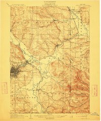
1905 Map of Jamestown
USGS Topo · Published 1913About this map
The industrial and transit hub of Jamestown dominates the western edge of this early twentieth-century survey, showing the city's dense street grid at the confluence of the Cassadaga River and Stillwater Creek. Three major rail lines, including the Erie R. R. and the Dunkirk Allegheny Valley And Pittsburg R. R., converge in this river valley, highlighting the region's importance as a transportation corridor. To the east, the landscape transitions into the steep, wooded hills of South Valley and the meandering path of Conewango Creek.
Find a feature on this map
62 named features on this map. Tap any name to fly to it.
Don’t see what you’re looking for? This feature index may not catch every label — zoom into the map to look around manually.
Map Details
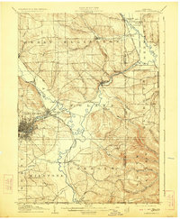
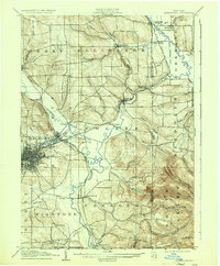
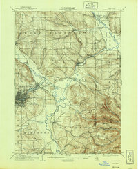
Editions of this 1905 Jamestown Map
5 editions found
Other maps of this area

1900 · Dunkirk
USGS Topo · 1:62,500

1900 · Cherry Creek
USGS Topo · 1:62,500

1904 · Chautaqua
USGS Topo · 1:62,500

1905 · Jamestown
USGS Topo · 1:62,500

1906 · Warren
USGS Topo · 1:62,500

1907 · Warren
USGS Topo · 1:62,500

1908 · Warren
USGS Topo · 1:62,500

1922 · Randolph
USGS Topo · 1:62,500

1923 · Randolph
USGS Topo · 1:62,500

1923 · Cattaraugus
USGS Topo · 1:62,500