
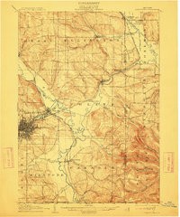
1905 Map of Jamestown
USGS Topo · Published 1905About this map
Jamestown stands as the primary urban center in this early 1900s survey, situated where Moon Creek and Levant Creek meet the winding Cassadaga Creek. The city's industrial footprint is defined by a dense street grid and significant rail infrastructure, including the Erie R.R. and the Pittsburg and Chautauqua Line. Beyond the city limits, the landscape transitions into a network of small agricultural and milling hamlets like Falconer, Frewsburg, and Ellington.
Find a feature on this map
57 named features on this map. Tap any name to fly to it.
Don’t see what you’re looking for? This feature index may not catch every label — zoom into the map to look around manually.
Map Details
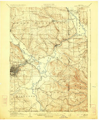
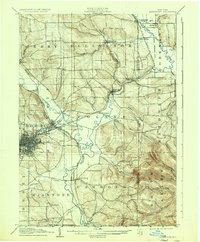
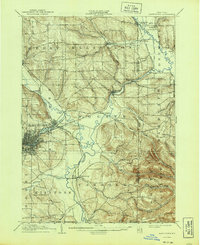
Editions of this 1905 Jamestown Map
5 editions found
Other maps of this area

1900 · Dunkirk
USGS Topo · 1:62,500

1900 · Cherry Creek
USGS Topo · 1:62,500

1904 · Chautaqua
USGS Topo · 1:62,500

1906 · Warren
USGS Topo · 1:62,500

1907 · Warren
USGS Topo · 1:62,500

1908 · Warren
USGS Topo · 1:62,500

1922 · Randolph
USGS Topo · 1:62,500

1923 · Randolph
USGS Topo · 1:62,500

1923 · Cattaraugus
USGS Topo · 1:62,500

1926 · Youngsville
USGS Topo · 1:62,500