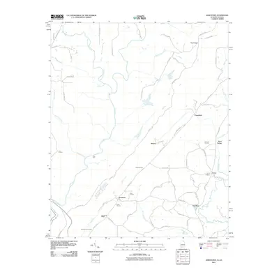
2011 Map of Jamestown
USGS Topo · Published 2011About this map
Jamestown and its surrounding communities are documented here as they existed in the early 21st century, revealing a landscape defined by the winding course of the Little River and the prominent elevation of Shinbone Ridge. The map is particularly valuable for genealogists and local historians, as it locates several family and community burial grounds, including the King Cemetery, Henderson-Hill Cemetery, and Mosely Cemetery. Smaller settlements such as New Moon, Burgess, and Chesterfield are connected by a network of county roads that navigate the area's numerous waterways, including Custigh Creek and Hurricane Creek. The presence of landmarks like Billys Ford on the river and Berry Spring near the settlement of Berry Springs highlights the enduring importance of local water sources to the geography of this DeKalb County area.
Find a feature on this map
57 named features on this map. Tap any name to fly to it.
Don’t see what you’re looking for? This feature index may not catch every label — zoom into the map to look around manually.
Map Details
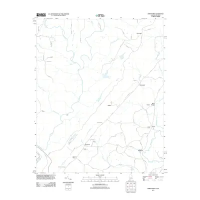
Editions of this 2011 Jamestown Map
2 editions found
Other maps of this area

1886 · Ringgold
USGS Topo · 1:125,000

1886 · Rome
USGS Topo · 1:125,000

1886 · Stevenson
USGS Topo · 1:125,000

1892 · Ringgold
USGS Topo · 1:125,000

1892 · Stevenson
USGS Topo · 1:125,000

1893 · Fort Payne
USGS Topo · 1:125,000

1895 · Stevenson
USGS Topo · 1:125,000

1898 · Rome
USGS Topo · 1:125,000

1898 · Fort Payne
USGS Topo · 1:125,000

1899 · Rome
USGS Topo · 1:125,000