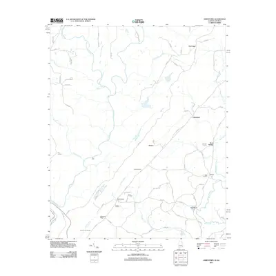
2011 Map of Jamestown
USGS Topo · Published 2011About this map
Jamestown and its surrounding rural landscapes are defined by the winding course of the Little River and the prominent rise of Shinbone Ridge. This topographic study reveals a community anchored by numerous family and church burial grounds, including Henderson-Hill Cemetery, Mosely Cemetery, and Smith Cemetery. Small, dispersed settlements like New Moon, Berry Springs, and Grover are connected by a network of county roads such as Co RD 103 and Co RD 861, reflecting a post-war pattern of rural development where traditional land features intersect with modern infrastructure.
Find a feature on this map
75 named features on this map. Tap any name to fly to it.
Don’t see what you’re looking for? This feature index may not catch every label — zoom into the map to look around manually.
Map Details
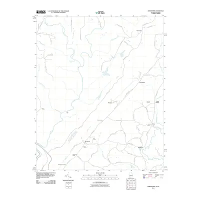
Editions of this 2011 Jamestown Map
2 editions found
Other maps of this area

1886 · Ringgold
USGS Topo · 1:125,000

1886 · Rome
USGS Topo · 1:125,000

1886 · Stevenson
USGS Topo · 1:125,000

1892 · Ringgold
USGS Topo · 1:125,000

1892 · Stevenson
USGS Topo · 1:125,000

1893 · Fort Payne
USGS Topo · 1:125,000

1895 · Stevenson
USGS Topo · 1:125,000

1898 · Rome
USGS Topo · 1:125,000

1898 · Fort Payne
USGS Topo · 1:125,000

1899 · Rome
USGS Topo · 1:125,000