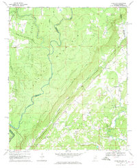
1967 Map of Jamestown
USGS Topo · Published 1969About this map
Lookout Mountain and the prominent Shinbone Ridge define the topography of this corner of Northeast Alabama and Northwest Georgia. The terrain transitions from the elevated plateaus of De Soto State Park down to the deeply carved Little River Canyon, where the West Fork Little River meanders toward the county line. The landscape is a mix of protected parklands and agricultural valley floors, interconnected by the De Soto Parkway.
Find a feature on this map
41 named features on this map. Tap any name to fly to it.
Don’t see what you’re looking for? This feature index may not catch every label — zoom into the map to look around manually.
Map Details
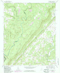
Editions of this 1967 Jamestown Map
2 editions found
Other maps of this area

1886 · Ringgold
USGS Topo · 1:125,000

1886 · Rome
USGS Topo · 1:125,000

1886 · Stevenson
USGS Topo · 1:125,000

1892 · Ringgold
USGS Topo · 1:125,000

1892 · Stevenson
USGS Topo · 1:125,000

1893 · Fort Payne
USGS Topo · 1:125,000

1895 · Stevenson
USGS Topo · 1:125,000

1898 · Rome
USGS Topo · 1:125,000

1898 · Fort Payne
USGS Topo · 1:125,000

1899 · Rome
USGS Topo · 1:125,000