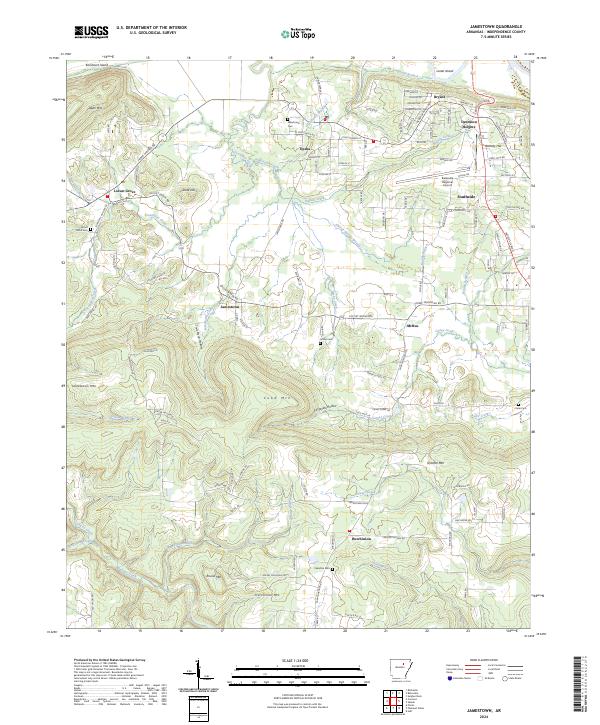
2024 Map of Jamestown
USGS Topo · Published 2024About this map
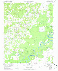
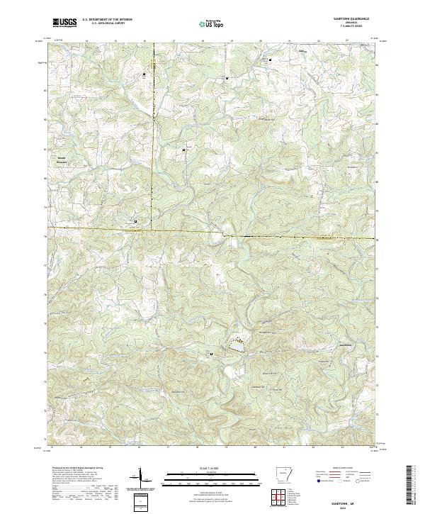
Jamestown and its neighboring communities are positioned within a terrain of distinctive ridges and hollows in Independence County. The landscape is defined by elevated features like Jamestown Mtn, Cobb Mtn, and Strother Mtn, which separate the various creek drainage basins. The area’s genealogical record is preserved in scattered local burial grounds, including Alderbrook Cem, Palestine Cem, and the Inman Cem near the center of the sheet.
Find a feature on this map
131 named features on this map. Tap any name to fly to it.
Don’t see what you’re looking for? This feature index may not catch every label — zoom into the map to look around manually.
Map Details
Editions of this 2024 Jamestown Map
This is the sole edition of this map. No revisions or reprints were ever made.
Historical Maps of McHue Through Time
14 maps found
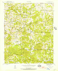
1942 Jamestown
Independence County, AR
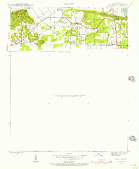
1943 Sandtown
Independence County, AR
1954 Charlotte
Independence County, AR
1955 Cord
Independence County, AR
1962 Olyphant
Independence County, AR
1965 Huff
Independence County, AR
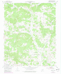
1965 Jamestown
Independence County, AR

1989 Sandtown
Independence County, AR
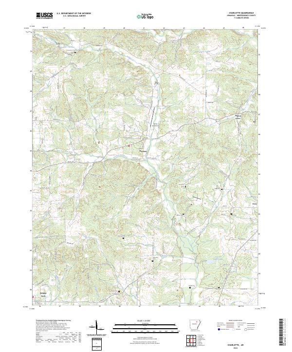
2024 Charlotte
Independence County, AR
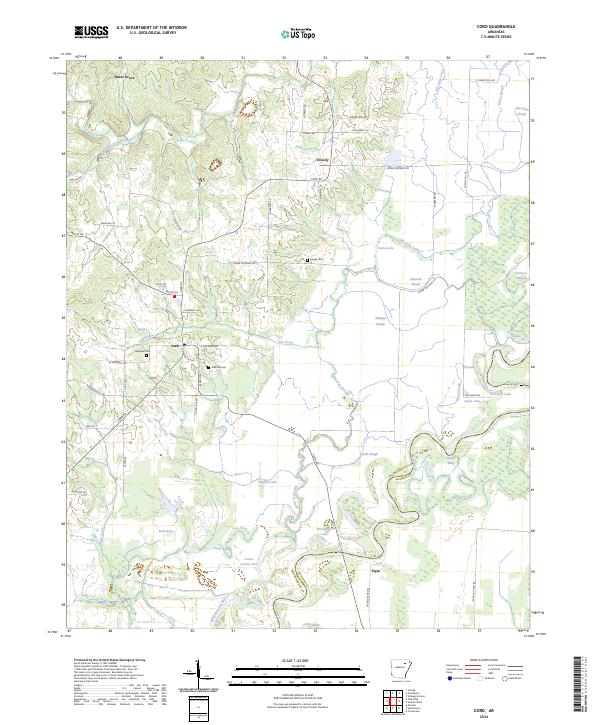
2024 Cord
Independence County, AR
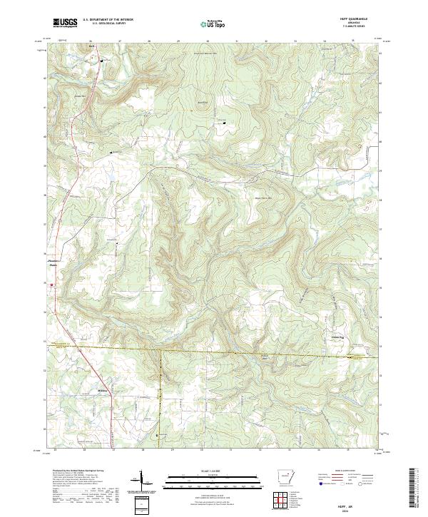
2024 Huff
Independence County, AR
2024 Jamestown
Independence County, AR
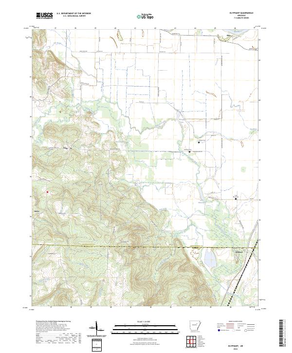
2024 Olyphant
Independence County, AR
2024 Sandtown
Independence County, AR