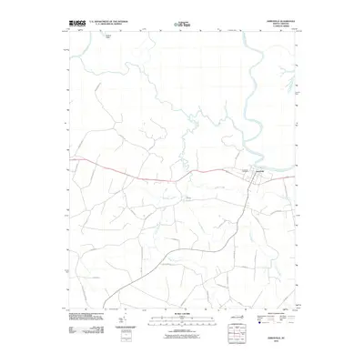
2010 Map of Jamesville
USGS Topo · Published 2010About this map
Jamesville serves as the focal point of this coastal plain landscape, situated along a sweeping bend of the Roanoke River. The settlement pattern is defined by its relationship to the water, with the Jamesville Post Office and nearby Tar Landing reflecting the historic importance of river-based commerce and transit. To the north, the river meanders through complex wetlands, creating distinct features like Kaders Eddy and the confluence of Three Sisters Creek.
Find a feature on this map
39 named features on this map. Tap any name to fly to it.
Don’t see what you’re looking for? This feature index may not catch every label — zoom into the map to look around manually.
Map Details
Editions of this 2010 Jamesville Map
This is the sole edition of this map. No revisions or reprints were ever made.
Other maps of this area

1901 · Williamston
USGS Topo · 1:62,500

1902 · Williamston
USGS Topo · 1:62,500

1903 · Chocowinity
USGS Topo · 1:62,500

1905 · Chocowinity
USGS Topo · 1:62,500

1943 · Plymouth
USGS Topo · 1:125,000

1953 · Rocky Mount
USGS Topo · 1:250,000

1954 · Rocky Mount
USGS Topo · 1:250,000
1978 · Farmlife
USGS Topo · 1:24,000
1978 · Hoke
USGS Topo · 1:24,000
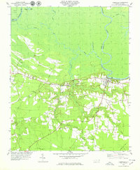
1978 · Jamesville
USGS Topo · 1:24,000