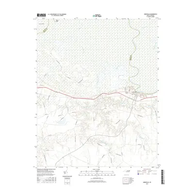
2016 Map of Jamesville
USGS Topo · Published 2016About this map
The Roanoke River dominates this landscape along the boundary of Bertie and Martin counties. The settlement of Jamesville serves as the focal point, situated at the edge of extensive wetlands including Deep Run Swamp and Cooper Swamp. The riverine environment north of the town is defined by complex waterways such as Devils Gut and Spellers Cr, which surround large landforms like Conine Island. Local history and genealogy interests are reflected in the dense network of rural roads south of the river, often bearing family names such as Frank Barber Rd, Wendell Modlin Rd, and Arthur Modlin Rd. Transportation patterns reveal a transition from river-based landmarks like Kaders Eddy and Tar Landing Rd to the more modern thoroughfares that bypass the town's core near Water St and Middle St.
Find a feature on this map
52 named features on this map. Tap any name to fly to it.
Don’t see what you’re looking for? This feature index may not catch every label — zoom into the map to look around manually.
Map Details
Editions of this 2016 Jamesville Map
This is the sole edition of this map. No revisions or reprints were ever made.
Other maps of this area

1901 · Williamston
USGS Topo · 1:62,500

1902 · Williamston
USGS Topo · 1:62,500

1903 · Chocowinity
USGS Topo · 1:62,500

1905 · Chocowinity
USGS Topo · 1:62,500

1943 · Plymouth
USGS Topo · 1:125,000

1953 · Rocky Mount
USGS Topo · 1:250,000

1954 · Rocky Mount
USGS Topo · 1:250,000
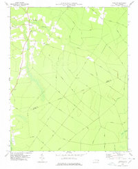
1978 · Farmlife
USGS Topo · 1:24,000
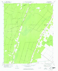
1978 · Hoke
USGS Topo · 1:24,000
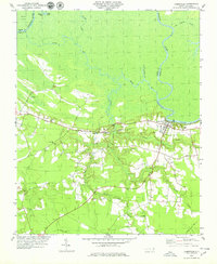
1978 · Jamesville
USGS Topo · 1:24,000