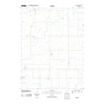
2010 Map of Jamison
USGS Topo · Published 2010About this map
Jamison sits in the northern reaches of this Clarke County landscape, a quiet settlement at the intersection of Pacific St and 255th Ave. The terrain is defined by a dense network of watercourses, including the various branches of Otter Creek and the southern flow of White Breast Creek. This 2010 survey reveals a rural infrastructure where grid-patterned local roads like Liberty Hwy and Kansas St connect isolated farmsteads and agricultural plots.
Find a feature on this map
37 named features on this map. Tap any name to fly to it.
Don’t see what you’re looking for? This feature index may not catch every label — zoom into the map to look around manually.
Map Details
Editions of this 2010 Jamison Map
This is the sole edition of this map. No revisions or reprints were ever made.
Other maps of this area

1950 · New Virginia
USGS Topo · 1:62,500

1951 · Osceola
USGS Topo · 1:62,500

1952 · New Virginia
USGS Topo · 1:62,500

1954 · Centerville
USGS Topo · 1:250,000

1954 · Des Moines
USGS Topo · 1:250,000

1956 · Des Moines
USGS Topo · 1:250,000

1957 · Des Moines
USGS Topo · 1:250,000

1957 · Centerville
USGS Topo · 1:250,000

1958 · Centerville
USGS Topo · 1:250,000

1965 · Weldon
USGS Topo · 1:24,000