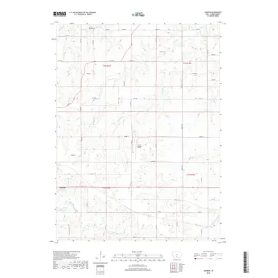
2018 Map of Jamison
USGS Topo · Published 2018About this map
The unincorporated community of Jamison and the eastern outskirts of Osceola anchor this Clarke County landscape, defined by the complex drainage of the Otter Creek system. Numerous branches, including N Otter Cr, Middle Otter Cr, and S Otter Cr, carve through the terrain, illustrating the hydrologic network that shaped local land use and farm placement. The rural character is punctuated by generational landmarks such as Union Chapel Cem and Twyford Cem, which provide essential points of reference for genealogical research in these townships.
Find a feature on this map
42 named features on this map. Tap any name to fly to it.
Don’t see what you’re looking for? This feature index may not catch every label — zoom into the map to look around manually.
Map Details
Editions of this 2018 Jamison Map
This is the sole edition of this map. No revisions or reprints were ever made.
Other maps of this area

1950 · New Virginia
USGS Topo · 1:62,500

1951 · Osceola
USGS Topo · 1:62,500

1952 · New Virginia
USGS Topo · 1:62,500

1954 · Centerville
USGS Topo · 1:250,000

1954 · Des Moines
USGS Topo · 1:250,000

1956 · Des Moines
USGS Topo · 1:250,000

1957 · Des Moines
USGS Topo · 1:250,000

1957 · Centerville
USGS Topo · 1:250,000

1958 · Centerville
USGS Topo · 1:250,000

1965 · Weldon
USGS Topo · 1:24,000