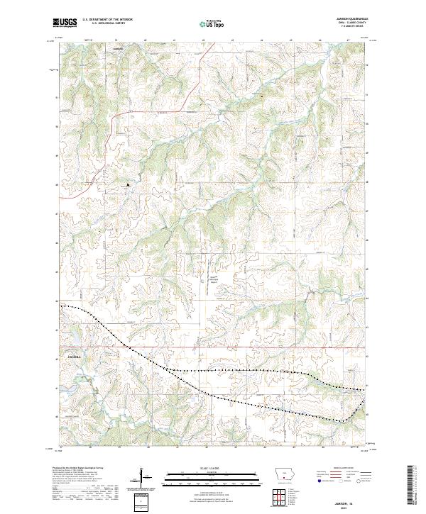
2023 Map of Jamison
USGS Topo · Published 2023About this map
Jamison and the northern outskirts of Osceola anchor this landscape in Clarke County, Iowa. The terrain is defined by the branching drainages of the Otter Creek system, including North Otter Creek, Middle Otter Creek, and South Otter Creek, which carve across the township lines of T73N and T72N. This modern survey illustrates the persistent rural infrastructure of the region, where a grid of secondary roads like Pacific St and Kansas St connects family-named landmarks and long-established sites.
Find a feature on this map
45 named features on this map. Tap any name to fly to it.
Don’t see what you’re looking for? This feature index may not catch every label — zoom into the map to look around manually.
Map Details
Editions of this 2023 Jamison Map
This is the sole edition of this map. No revisions or reprints were ever made.
Other maps of this area

1950 · New Virginia
USGS Topo · 1:62,500

1951 · Osceola
USGS Topo · 1:62,500

1952 · New Virginia
USGS Topo · 1:62,500

1954 · Centerville
USGS Topo · 1:250,000

1954 · Des Moines
USGS Topo · 1:250,000

1956 · Des Moines
USGS Topo · 1:250,000

1957 · Des Moines
USGS Topo · 1:250,000

1957 · Centerville
USGS Topo · 1:250,000

1958 · Centerville
USGS Topo · 1:250,000

1965 · Weldon
USGS Topo · 1:24,000