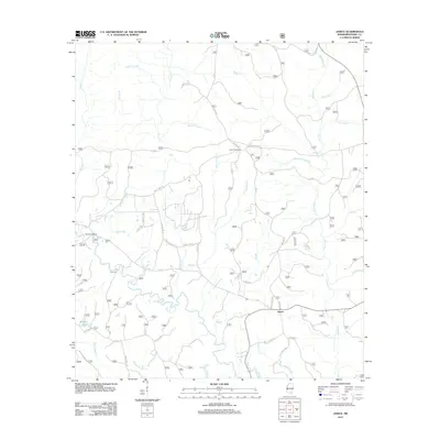
2012 Map of Janice
USGS Topo · Published 2012About this map
Black Cr winds through the heart of Perry County, shaping a landscape defined by an intricate network of tributaries and lowland brakes. The settlement of Janice serves as a central point for local travel, where Janice School Rd meets FS 301. To the west, the winding waters of Wolfpen Br and Pearces Cr feed into the larger creek system, while family-named landmarks like Mixon Cem and infrastructure such as the Paret Fire Tower provide tangible links to the area's rural heritage.
Find a feature on this map
56 named features on this map. Tap any name to fly to it.
Don’t see what you’re looking for? This feature index may not catch every label — zoom into the map to look around manually.
Map Details
Editions of this 2012 Janice Map
This is the sole edition of this map. No revisions or reprints were ever made.
Other maps of this area

1947 · Beaumont
USGS Topo · 1:62,500

1947 · Wiggins
USGS Topo · 1:62,500

1947 · New Augusta
USGS Topo · 1:62,500

1947 · Benndale
USGS Topo · 1:62,500

1949 · Wiggins
USGS Topo · 1:62,500

1949 · Beaumont
USGS Topo · 1:62,500

1949 · New Augusta
USGS Topo · 1:62,500

1949 · Benndale
USGS Topo · 1:62,500

1953 · Hattiesburg
USGS Topo · 1:250,000

1953 · Mobile
USGS Topo · 1:250,000