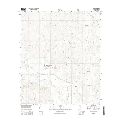
2015 Map of Janice
USGS Topo · Published 2015About this map
The Desoto National Forest dominates this section of Perry County, Mississippi, where the settlement of Janice sits at the intersection of several local forest roads. The terrain is defined by a complex drainage network feeding into Black Creek, which meanders through the southern half of the quadrangle. Distinctive wetlands like the Howard Reed Brake and water bodies such as Andrew Pond highlight the riparian character of the Gulf Coastal Plain landscape. For researchers and genealogists, the map preserves the location of Mixon Cem and names numerous family-identified landmarks like Wolfpen Br, Toms Camp Br, and Beaver Pond Cr. The road network, including Red Hill Rd and Paret Tower Rd, provides a clear view of the rural infrastructure within the protected forest boundaries.
Find a feature on this map
46 named features on this map. Tap any name to fly to it.
Don’t see what you’re looking for? This feature index may not catch every label — zoom into the map to look around manually.
Map Details
Editions of this 2015 Janice Map
This is the sole edition of this map. No revisions or reprints were ever made.
Other maps of this area

1947 · Beaumont
USGS Topo · 1:62,500

1947 · Wiggins
USGS Topo · 1:62,500

1947 · New Augusta
USGS Topo · 1:62,500

1947 · Benndale
USGS Topo · 1:62,500

1949 · Wiggins
USGS Topo · 1:62,500

1949 · Beaumont
USGS Topo · 1:62,500

1949 · New Augusta
USGS Topo · 1:62,500

1949 · Benndale
USGS Topo · 1:62,500

1953 · Hattiesburg
USGS Topo · 1:250,000

1953 · Mobile
USGS Topo · 1:250,000