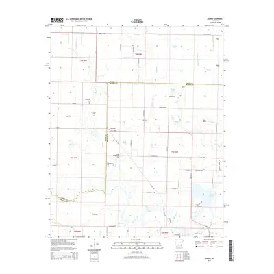
2014 Map of Jasmine
USGS Topo · Published 2014About this map
Belcher and Jasmine sit at the center of this landscape where the boundaries of White and Prairie Counties meet. This region is defined by a dense network of slow-moving waterways and bottomlands, including the wide Bayou Des Arc and the expansive Coitier Basin near the southern edge. The terrain is marked by subtle rises such as Big Greenbrier Hill and Little Greenbrier Hill, which provide relief from the surrounding wetlands like Blind Basin and Jarvers Lake. Local history is anchored by the Belcher Cem and Griffin Cem, while the presence of the Tripp Strip Airport at Showalters Corner indicates the area's continued integration into regional transport networks. The map details a complex system of drainage, from Raft Cr in the north to Lake Des Arc in the southeast, illustrating the hydrological character of this Arkansas deltaic borderland.
Find a feature on this map
83 named features on this map. Tap any name to fly to it.
Don’t see what you’re looking for? This feature index may not catch every label — zoom into the map to look around manually.
Map Details
Editions of this 2014 Jasmine Map
This is the sole edition of this map. No revisions or reprints were ever made.
Other maps of this area

1932 · Kensett
USGS Topo · 1:62,500

1935 · Kensett
USGS Topo · 1:62,500

1935 · Hazen
USGS Topo · 1:62,500

1935 · Gregory
USGS Topo · 1:62,500

1941 · Hazen
USGS Topo · 1:62,500

1941 · De Valls Bluff
USGS Topo · 1:62,500

1948 · Helena
USGS Topo · 1:250,000

1950 · Helena
USGS Topo · 1:250,000

1953 · Memphis
USGS Topo · 1:250,000

1955 · Helena
USGS Topo · 1:250,000