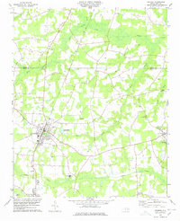
1982 Map of Jason
USGS Topo · Published 1983About this map
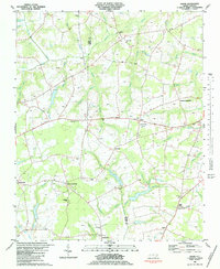
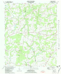
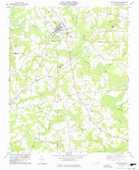
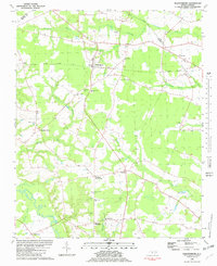
Nahunta Swamp and its complex network of tributaries like Beaver Dam Branch and Cow Swamp define the low-lying landscape along the boundary of Wayne and Greene counties. This 1970s-era survey reveals a rural society centered on dispersed agricultural hubs and crossroads communities such as Shine, Oakdale, and Peanut Crossroads. The mapping reflects a deeply rooted community infrastructure, documented through numerous country churches like Eden Ch and St Johns Ch, and many unnamed family cemeteries. The presence of Parkstown and Jason in the south, alongside features like the Slough Dam and a Sandpit, points to a landscape balancing traditional farming with local extractive industry and water management in the Coastal Plain.
Find a feature on this map
49 named features on this map. Tap any name to fly to it.
Don’t see what you’re looking for? This feature index may not catch every label — zoom into the map to look around manually.
Map Details
Editions of this 1982 Jason Map
2 editions found
Other maps of this area

1904 · Falkland
USGS Topo · 1:62,500

1904 · Wilson
USGS Topo · 1:62,500

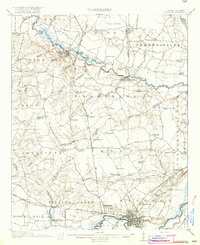
1914 · Kinston
USGS Topo · 1:48,000
1916 · Kinston
USGS Topo · 1:62,500

1953 · Rocky Mount
USGS Topo · 1:250,000

1954 · Rocky Mount
USGS Topo · 1:250,000
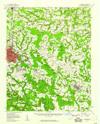
1957 · Goldsboro
USGS Topo · 1:62,500
1978 · Fremont
USGS Topo · 1:24,000
1978 · Stantonsburg
USGS Topo · 1:24,000
1981 · Walstonburg
USGS Topo · 1:24,000