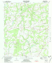
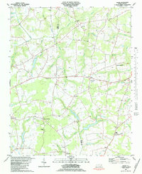
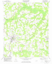
1982 Map of Jason
USGS Topo · Published 1984About this map
Greene and Wayne counties meet along the winding courses of Nahunta Swamp and Cow Swamp in this 1982 survey. The landscape is defined by its agrarian intersections and rural spiritual centers, with numerous named crossroads like Cokers Crossroads, Peanut Crossroads, and Jason Corner serving as local anchors. These small settlements are often centered around country churches and cemeteries, such as Lovicks Chapel, Mewborn Ch, and Davis Grove Ch.
Find a feature on this map
54 named features on this map. Tap any name to fly to it.
Don’t see what you’re looking for? This feature index may not catch every label — zoom into the map to look around manually.
Map Details
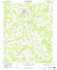
Editions of this 1982 Jason Map
2 editions found
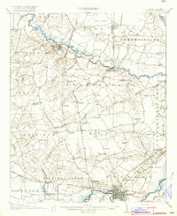
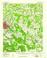
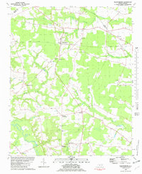
Other maps of this area

1904 · Falkland
USGS Topo · 1:62,500

1904 · Wilson
USGS Topo · 1:62,500

1914 · Kinston
USGS Topo · 1:48,000
1916 · Kinston
USGS Topo · 1:62,500

1953 · Rocky Mount
USGS Topo · 1:250,000

1954 · Rocky Mount
USGS Topo · 1:250,000
1957 · Goldsboro
USGS Topo · 1:62,500
1978 · Fremont
USGS Topo · 1:24,000
1978 · Stantonsburg
USGS Topo · 1:24,000
1981 · Walstonburg
USGS Topo · 1:24,000