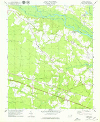
1978 Map of Jasper
USGS Topo · Published 1979About this map
Neuse River frontage and the sprawling Great Dover Swamp define this coastal plain landscape in Craven County. The Atlantic and East Carolina railroad serves as the primary corridor through the settlements of Jasper, Tuscarora, and Hymans, while an Old Railroad Grade to the south indicates the region's evolving transport network. Waterborne commerce and local transit are evident through several historic river access points, including Cowpen Landing, Redhill Landing, and Spring Garden Landing.
Find a feature on this map
44 named features on this map. Tap any name to fly to it.
Don’t see what you’re looking for? This feature index may not catch every label — zoom into the map to look around manually.
Map Details
Editions of this 1978 Jasper Map
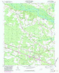
2 editions found
Other maps of this area

1901 · New Bern
USGS Topo · 1:62,500

1902 · Ayden
USGS Topo · 1:62,500

1902 · Vanceboro
USGS Topo · 1:62,500

1903 · New Bern
USGS Topo · 1:62,500

1903 · Trent River
USGS Topo · 1:62,500

1904 · Ayden
USGS Topo · 1:62,500

1904 · Trent River
USGS Topo · 1:62,500

1904 · Vanceboro
USGS Topo · 1:62,500

1905 · Vanceboro
USGS Topo · 1:62,500

1950 · Pollocksville
USGS Topo · 1:24,000