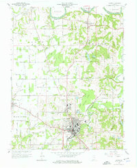
1960 Map of Jasper
USGS Topo · Published 1961About this map
The city of Jasper serves as the industrial and civic heart of Dubois County in this 1960 revision, where the Southern railroad line meets the winding Patoka River. The urban grid is dense with landmarks like St Joseph Sch and the Armory Park, while the surrounding landscape reveals a rural economy transitioning through the mid-20th century. To the north, the East Fork White River defines the border with Martin Co, near the settlement of Portersville. The map is particularly rich for genealogical research, documenting numerous family-named burial grounds such as McMahan Cem, Hope Cem, and Chattho Cem. Traces of early industry and land use are evident in features like the Strip Mine in Reeve Township and the drainage networks of Buffalo Flat and High Ditch, illustrating how the local terrain was managed for agriculture and extraction.
Find a feature on this map
66 named features on this map. Tap any name to fly to it.
Don’t see what you’re looking for? This feature index may not catch every label — zoom into the map to look around manually.
Map Details
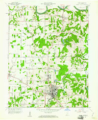
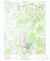
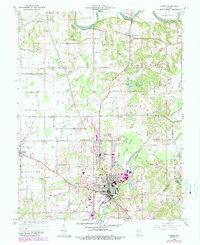
Editions of this 1960 Jasper Map
4 editions found
Other maps of this area

1902 · Ditney
USGS Topo · 1:125,000

1903 · Velpen
USGS Topo · 1:62,500

1944 · Glendale
USGS Topo · 1:24,000

1946 · Jasper
USGS Topo · 1:24,000

1954 · Dubois
USGS Topo · 1:24,000

1954 · Huntingburg
USGS Topo · 1:24,000

1955 · Saint Anthony
USGS Topo · 1:24,000

1956 · Alfordsville
USGS Topo · 1:24,000

1956 · Rusk
USGS Topo · 1:24,000

1956 · Vincennes
USGS Topo · 1:250,000