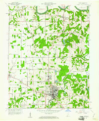
1960 Map of Jasper
USGS Topo · Published 1976About this map
The Patoka River snakes through the southern landscape of this 1960 survey, anchoring the industrial and civic heart of Jasper. This era captures the city at a moment of transition, showing the density of the downtown grid, including the St Joseph Sch, the local Hospital, and the Armory Park, while the Southern Railway provides a critical link for the region's commerce. To the north, the terrain gives way to the agricultural and natural features of Bainbridge and Harbison townships, where the East Fork White River defines the northern boundary.
Find a feature on this map
67 named features on this map. Tap any name to fly to it.
Don’t see what you’re looking for? This feature index may not catch every label — zoom into the map to look around manually.
Map Details
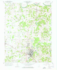
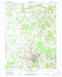
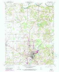
Editions of this 1960 Jasper Map
4 editions found
Other maps of this area

1902 · Ditney
USGS Topo · 1:125,000

1903 · Velpen
USGS Topo · 1:62,500

1944 · Glendale
USGS Topo · 1:24,000

1946 · Jasper
USGS Topo · 1:24,000

1954 · Dubois
USGS Topo · 1:24,000

1954 · Huntingburg
USGS Topo · 1:24,000

1955 · Saint Anthony
USGS Topo · 1:24,000

1956 · Alfordsville
USGS Topo · 1:24,000

1956 · Rusk
USGS Topo · 1:24,000

1956 · Vincennes
USGS Topo · 1:250,000