
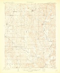
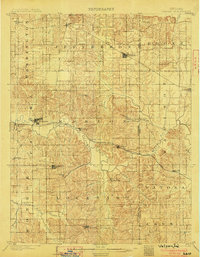
1986 Map of Jasper
USGS Topo · Published 1986About this map
The Patoka River valley and its massive Patoka Lake reservoir dominate this mid-1980s landscape, reflecting a region defined by managed timberlands and agricultural heritage. Public lands are extensive here, with the Hoosier National Forest and Ferdinand State Forest preserving the wooded ridges and hollows that characterize southern Indiana. Settlement is concentrated around the manufacturing hub of Jasper and the rail-connected town of Huntingburg, while smaller communities like Schnellville, Birdseye, and English serve as rural anchors across the rugged terrain.
Find a feature on this map
224 named features on this map. Tap any name to fly to it.
Don’t see what you’re looking for? This feature index may not catch every label — zoom into the map to look around manually.
Map Details
Editions of this 1986 Jasper Map
This is the sole edition of this map. No revisions or reprints were ever made.
Other maps of this area

1900 · St Meinrad
USGS Topo · 1:62,500

1900 · De Gonia Springs
USGS Topo · 1:62,500

1901 · Owensboro
USGS Topo · 1:62,500

1902 · Ditney
USGS Topo · 1:125,000

1902 · Degonia Springs
USGS Topo · 1:62,500
1903 · St. Meinrad
USGS Topo · 1:62,500
1903 · Velpen
USGS Topo · 1:62,500

1903 · Tell City
USGS Topo · 1:62,500

1909 · Kosmosdale
USGS Topo · 1:48,000

1912 · Kosmosdale
USGS Topo · 1:62,500