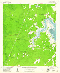
1958 Map of Jasper
USGS Topo · Published 1960About this map
The Okatee River and its intricate tidal network define this South Carolina landscape along the boundary of Jasper and Beaufort counties. In the late 1950s, the region was characterized by extensive wetlands and maritime forests, where life centered on small inland settlements and waterfront landings. Local community life is anchored by a significant number of country churches, including Bethlehem Ch, St Andrews Ch, and St Lukes Ch.
Find a feature on this map
32 named features on this map. Tap any name to fly to it.
Don’t see what you’re looking for? This feature index may not catch every label — zoom into the map to look around manually.
Map Details
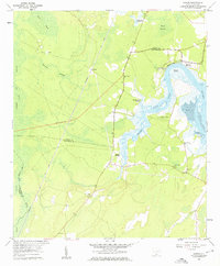
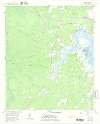
Editions of this 1958 Jasper Map
3 editions found
Other maps of this area

1920 · Hardeeville
USGS Topo · 1:62,500

1920 · Okatie
USGS Topo · 1:62,500

1920 · Bluffton
USGS Topo · 1:62,500

1942 · Savannah
USGS Topo · 1:62,500

1942 · Okatie
USGS Topo · 1:62,500

1943 · Hardeeville
USGS Topo · 1:62,500

1945 · Bluffton
USGS Topo · 1:62,500

1947 · Savannah
USGS Topo · 1:250,000

1948 · Savannah
USGS Topo · 1:250,000

1953 · Hardeeville
USGS Topo · 1:62,500