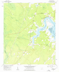
1958 Map of Jasper
USGS Topo · Published 1960About this map
The Seaboard Air Line railroad and a highway under construction cut through the Lowcountry landscape of the late 1950s, defining the boundary between Jasper and Beaufort counties. This coastal environment is dominated by tidal waterways and dense wetlands, including the extensive Great Swamp, Kato Bay, and Whig Swamp. Small settlements and landings like Okatie, Jasper, and Cherry Point Landing serve as local hubs for river-based commerce and social life.
Find a feature on this map
30 named features on this map. Tap any name to fly to it.
Don’t see what you’re looking for? This feature index may not catch every label — zoom into the map to look around manually.
Map Details
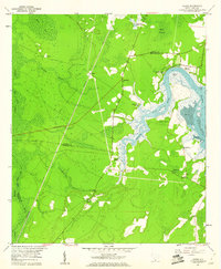
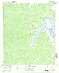
Editions of this 1958 Jasper Map
3 editions found
Other maps of this area

1920 · Hardeeville
USGS Topo · 1:62,500

1920 · Okatie
USGS Topo · 1:62,500

1920 · Bluffton
USGS Topo · 1:62,500

1942 · Savannah
USGS Topo · 1:62,500

1942 · Okatie
USGS Topo · 1:62,500

1943 · Hardeeville
USGS Topo · 1:62,500

1945 · Bluffton
USGS Topo · 1:62,500

1947 · Savannah
USGS Topo · 1:250,000

1948 · Savannah
USGS Topo · 1:250,000

1953 · Hardeeville
USGS Topo · 1:62,500